
We are a mile west of the Claveria lagoon on our final day of diving. Ten minutes into our last dive of the day, we’ve seen enough of “the crack” in the islet’s submerged foundation. We are ready to push on and continue our quest to explore new territory under the waves.
Once we leave the immediate vicinity of the towering 50 foot high crevice, I have little idea where our diving takes us. I know our initial direction is west, but our navigation after that becomes confusing. By necessity we twist left, right, double back, circle left then right, and so on. We never go in one direction for long before we have to change course again. Technically we ARE lost, but it’s never a concern; in fact it’s fun and exciting.
The terrain seems to consist of circling sea walls. Five minutes after we leave the starting point I have no idea how far away the boat is, but we know to find it all we SHOULD have to do is go up and look for it. So we don’t sweat it.

It’s been several weeks since that last dive. Writing now about what happened then spurs me to remember the event more exactly. As I do a question arises: What is it about that spot that makes the underwater navigation so perplexingly roundabout?
Looking for a clue I check out the satellite image of the site in question on Google maps. A quick glance at the area makes it all quite clear why our dive route was so circuitously unclear. Enlarging that relatively tiny area I count at least 9 separate islands all in close proximity to each other.
And THAT is the answer: It seemed as if we were swimming in circles, because we were. Frankly, until I saw them on Google maps, I had NO idea that those islets were there. I didn’t notice them when I jumped into the water.
I don’t know why I haven’t used it before, but now that I’ve familiarized myself with Google Maps, I think I’ll add an embed of the entire area, from the Claveria Lagoon all the way out to the far dive site out to the west. I even got fancy and added labeled place marks and lines showing direction of travel. As I write this I have no idea if it will work, but I’m hoping so—Google Maps has the potential to be an outstanding elucidation application.
And indeed, it DOES work! Click on the placemarks and the line for explanations. Also, click on the blue title at the map bottom "Claveria Lagoon scuba sites" for an even larger map. Good stuff!
View Claveria Lagoon scuba sites in a larger map
The embedded video below shows typical scenery of that area. The experience is a bit like diving down at the Claveria canyons in that one’s sense of direction becomes easily confused. Although one difference is that the far western site doesn’t have deep gully like canyons arranged close together in a maze like the lagoon canyons have. Basically, the far site consists of lots of sea walls.
Obviously these walls are the underwater bases of the various islands, while the nearby coastline also provides its share of seawall as well. From underwater you won’t be able to tell which wall belongs to which island, or if it’s part of the coast until familiarity with the topography is attained. Until then, the only way to tell where you are is to go up and look.

The fishermen were right though, the western site DOES have a LOT of sealife. As I’ve been saying though, with few exceptions, even in that place there is a definite dearth of fish larger than the size of my hand; and I have VERY small hands.
Unfortunately, the scarcity of sizeable fish applies to the ENTIRE area; although until THAT dive I just didn’t understand why. I mean, with all the huge rocks, crevices and canyons for the fish to hide in, I figured there should be no way (unless they use explosives and cyanide) that the local fishermen could be catching EVERY large fish strictly using trawling nets or hook-and-line.
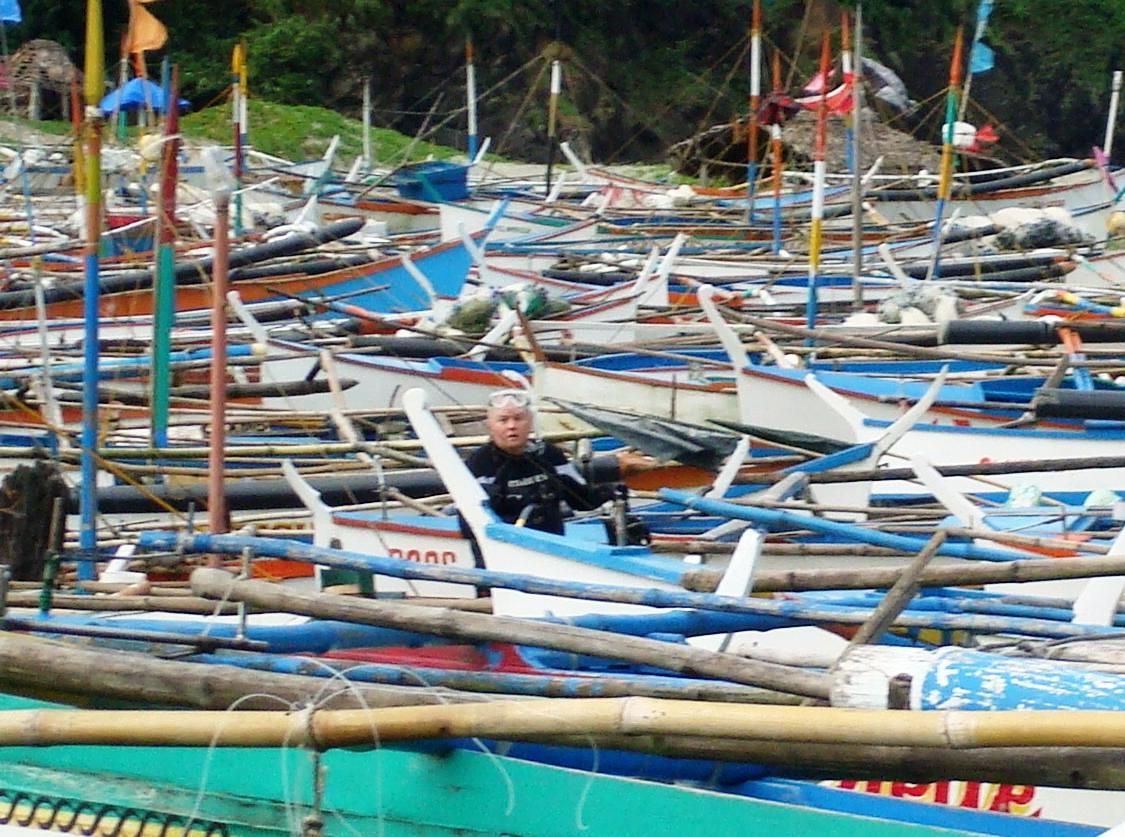
But for me, the mystery of missing “big ones” was solved as soon as I saw how easily our boatman was able to plunge to almost any depth simply by breathing air pushed through a tube by way of a small gas powered pump no larger than my mom’s sewing machine. With a set up like that there’s no place ANY fish can hide; no hole, no nook, no cranny, no depth, no where.

In fact, several times while relaxing in the pavilion between dives I observed hardy young fellows straight off boats walk by wearing weather-worn wetsuits, each
carrying a five foot long wooden spear gun (similar to the one in t
 he photo). Each also toted nylon net bags bulging with fish, all of which appeared to be smaller than one of my girly hands.
So, I may be wrong, but from what I’ve seen there doesn’t appear to be any game management. If there are any limits on size and numbers, well, no one is providing enforcement.
Anyway, if I was in charge, I’d go for the Palawan example and completely ban all fish kill. Then, with the complete recovery of the native sea life population, which to build on already has some pretty fantastic species diversity, not to mention the incredible underwater topography already providing stunningly dramatic imagery backdrops, scuba divers from all over the country and from nations everywhere would pour into the Claveria lagoon.

Well, shoot! I told myself that I wasn’t going to go off on that particular tangent, but I just can’t help it. So many times when I bring up my displeasure with the local style of over fishing I get this ode to practicality: “Well, yeah, you’re probably right; but poor people GOT to eat, don’t they?”
But I think my response makes even more sense: “And WHAT do they eat once ALL the fish are gone?”
Halfway through the dive we entered an area where we found ourselves bracketed between TWO seawalls. At the time I figured we were passing through a huge geological fold that was either part of the island or the mainland. Even now I still don’t which it was.

We pass around a bend and I stop to float for a moment, just to take in the new scenery. Don goes to the far wall and begins to explore with his spotlight the holes and crevices in it. Once again, I am in awe at the sheer beauty of the place and that is even before I see the arch.
And then I DO see it, something so strikingly unexpected that I’m not sure it’s real. With my Canon on video I move forward trying to figure out what exactly it is I’m looking at. Unfortunately, the video I took (that you can view below)just does NOT do it justice.
High, high above me is a giant archway made of stone. I can’t believe my luck that we’ve found it. Indirect light from the surface streams through the top of the arch, silhouetting it in shades of blue.

Almost twenty seconds into the clip you can hear me yelling into my regulator. I’m trying to get Don’s attention but he’s too far away to hear. I get back to the work of trying to properly capture video of this singular spectacle.
The thrill of the moment is overpowering, of seeing something so uniquely brilliant and knowing that likely only a handful of others, if that, have ever also had the pleasure of seeing it. Probably only a few locals have had cause to witness it, like our diving boatman, perhaps deep in the water at that spot trying to spear fish. Somehow, I doubt it though; otherwise, I’m sure they would have told us about it.

I wish now that I would have surfaced to find out exactly where the arch is and WHAT it is for that matter. From beneath it’s impossible to tell if the arch is the underside of a land bridge between two islands, or maybe it tunnels beneath a tiny peninsula of land protruding into the sea.
Passing under the arch you can see in the video that there is another wall that ends direct travel along the two parallel walls; although a diver can probably simply swim to the top of the wall and keep going that way. At the bottom of this dead-end

wall is a pit filled with smaller rocks. I’m still kicking myself for not going topside there to see what is going on. It’s a mystery that I might not ever get the chance to solve. Heck, I was SO close to the surface anyway; after all, I went to the underside of the arch to film it and the surface was probably less than ten feet more above that. Dang it.
Oh, and here is the MOST unbelievable thing: Don NEVER SEES the arch above him. In the video he swims under it, gets to the dead-end, and swims back out the way we came in. Evidently, if he looked up, he never figured out what he was looking at. I’m still scratching my head over that one. The lesson from that: NEVER assume the other diver sees what you see. So the two of us were there, and I’m the only one who got to see it. That really makes me feel bad.

For me, the arch was the highlight of the dive. It haunted me for the rest of my time down there, even until now. The rest of what I saw, although pretty good, just does not compare.
That dive turned out to be the PERFECT final dive for what turned out to be an unforgettable scuba expedition. When Don asked me to go all that way north to check it out with him I never would have predicted how great it would be.
And once again I must go on record with the following: With all the wonderful things to see in that relatively tiny area near Claveria's lagoon, I predict that someday, perhaps many years from now, Claveria WILL be THE scuba diving Mecca of Northern Luzon. I’m just thankful that I had the opportunity to see it, perhaps to help discover it FOR them, the people of Claveria, so that they can take the bull by the horns and get ON with making it happen.
2 comments:
I am a big fan of Google Earth which is a suped up version of Google Maps and is free to download. I can loose hours a day on Google Earth checking things out.
Yeah, I'm a map guy. I just never realized I could embed a personalized map with annotations right into my blog. Not bad.
Post a Comment